Aerial Photograph Interpretation for Legal Support
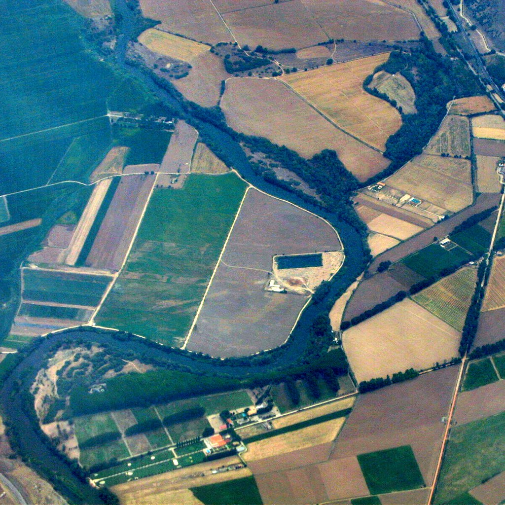
Aerial photographs have the potential to provide information that can support legal cases. Information is extracted from photographic images using feature recognition based on image characteristics. For example: The presence or absence of vehicles; and if present, type of vehicle (passenger car or truck) and whether the vehicle is junked or intended for road use.Materials stored outside and general type; lumber, steel products, logs, concrete castings, vehicles and materials from sand and gravel operations.Disposal of materials; landfills, junkyards, tire dumps, stump dumps and quarry debris.Land boundary encroachments; structures, tree removal, landscaping and vehicle parking. Earth removal and earth scars; sand and gravel operations and construction activity, including the type and extent. Wetland alterations and the type and extent; dredging, filling, flooding or tree removal. Activity patterns; farming (pastures, row crops, hayfields and orchards), nurseries, logging and quarrying. Elevation differences; by viewing photographs stereoscopically and by measuring parallax. Urban features; athletic fields, cemeteries, churches, parks, housing density, commercial areas, industrial areas, schools, hospitals, bridges, dams, highways, railroads and airfields. Many more features could be added to the list. Analysis of changes over time and determination of approximate time of the change by comparing photographs taken on multiple dates.
Image Characteristics
There are two fundamental aspects of aerial photograph interpretation: object recognition and the use of logical thought processes to draw correct conclusions. Object recognition is aided by a number of photograph pictorial elements collectively called image characteristics. The primary ones are discussed below:
Tone
On black and white photographs, light reflected from the earth’s surface is shown in tones of black, white and shades of grey. Many factors affect tone, but once an interpreter understands why tones have a specificappearance, they become useful clues to object recognition. On true-color aerial photographs tones are represented by color hues.
Texture
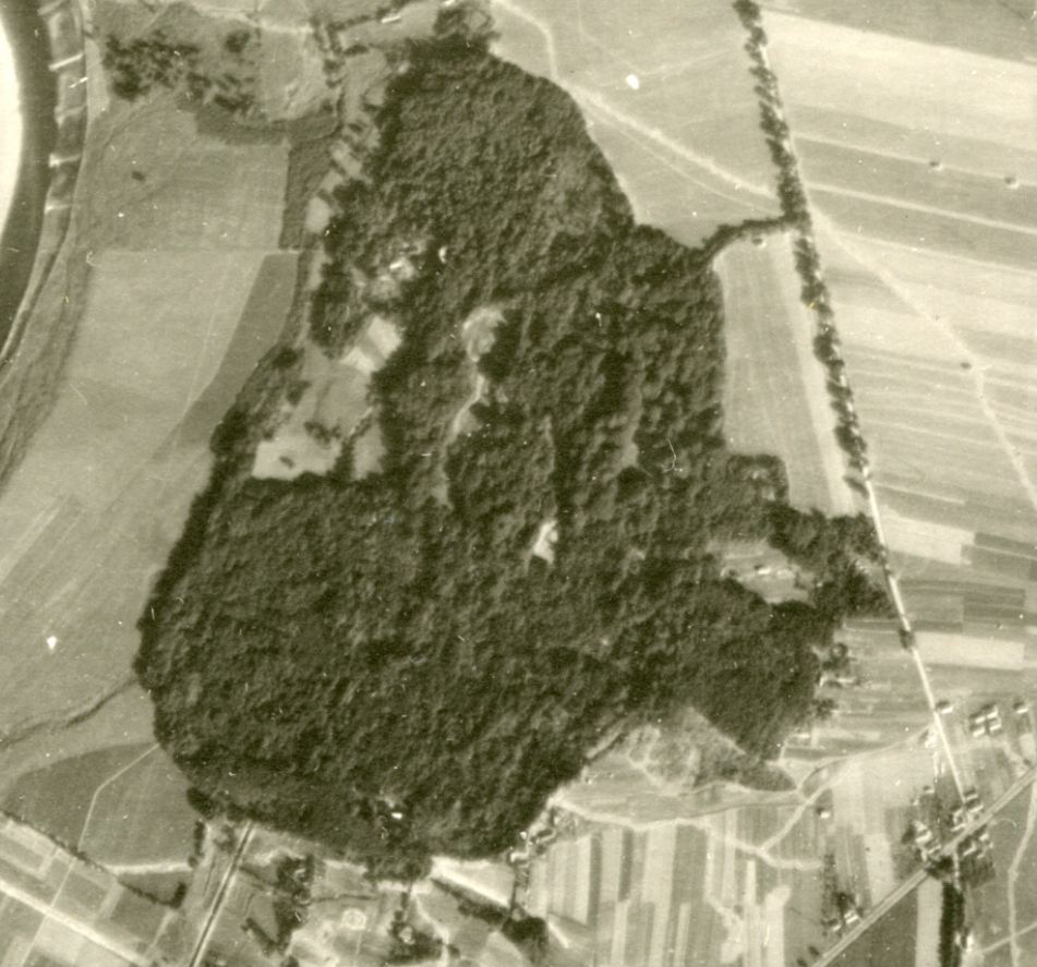
This element relates to the frequency that tones change. A surface, such as a golf course fairway or green would have a smooth texture while the rough and wooded areas would have an appearance described as a rough texture.
Size: Both relative and absolute sizes are important in recognizing objects. Frequently vehicles will be used to judge relative size of objects while athletic fields with known dimensions can be relied on to determine the aerial photograph scale. This can then be applied to any other measured feature.
Shape
The vertical view presented by most aerial photographs provides a unique opportunity to use shape to recognize features. Are the items of interest circular, linear, rectangular, square or irregular? A linear feature such as a highway can be differentiated from another linear feature such as a railroad by width of bridges, curves and grades, intersections and associated facilities.
Shadow
During the late fall and winter seasons, when the sun angle is low on the horizon, features will cast shadows which aid in their identification. The cast shadow provides a profile view more familiar to most observers. Shadows can be detrimental however, if the features of interest are in shadows, as very little light is reflected from these areas.
Pattern
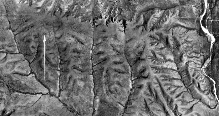
Patterns can be natural, such as those produced by streams and other geologic events, or cultural from mans use of the land. Settlements, transportation, agriculture, forestry, mining and utility infrastructures all leave patterns. There are associated facilities. For example, farms have barns, silos, accessory buildings and areas for crops and pasture. Features such as nurseries, orchards, cemeteries, trailer parks, athletic fields and golf courses all show patterns of use.
Topographic location
Even more information can be obtained when stereo pairs of photographs are viewed with an instrument called a stereoscope. Features have verticality that can be analyzed and measured for height and depth differences. For example, slopes can be studied and stream locations determined. Stereoscopic viewing aids in analysis of vegetation difference as a result of the direction a slope is facing. Topographic position also aides in the delineation of floodplains and wetlands.