
Specialized Services

Professional interpretation
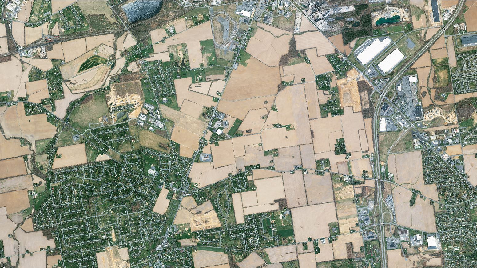
An experienced interpreter uses pictorial clues, called image characteristics, to recognize ground features. The interpreter combines feature recognition and logical reasoning to deduce and infer ground activity.

Aerial Photographs
Millions of aerial photographs have been taken, some as early as the 1930's. Sources include private aerial survey firms, university map and image libraries, engineering firms, local and state government and utilities.

Preparation of supporting graphics
Enlargements and other supporting graphics, such as annotated maps and images, are needed to explain the detail analyzed on the photographs and conclusions that are reached regarding ground activity.

Faqs
Where can I obtain aerial photographs?
In addition to the commercial sources listed on this site, they can be obtained from the federal government (USDA, USGS, NOAA) and state, county and local government sources. Transportation, Assessors and Planning Departments are the most favorable sources.
Are aerial photographs acceptable as legal exhibits?
Yes
What would be the oldest date for which I could find aerial photographs?
The early to mid 1930's.
Can aerial images be altered to show incorrect information?
Possibly, but it is not recommended that anyone try it. The original, un-modified negative probably exists in someone's archive.
What is the smallest ground feature visible on an aerial photograph?
Visible detail is a function of photograph scale and image quality, however vehicles are visible at a scale of 1″ = 1000′ and utility poles, fire hydrants and manhole covers should be visible at a scale of 1″ = 500′.
What is stereo viewing?
This is the ability to use a device called a stereoscope to view two photographs that show the same features taken from two different view points. The result is an apparent three dimensional model.